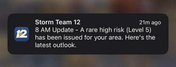
As of 8 a.m. on Monday morning, Wichita will be moving to a Level 5 extreme severe weather risk. A Level 5 extreme severe weather risk is the highest that can be issued. This level of severe weather is capable of producing high wind speeds and large hail sizes.
According to KWCH, these storms are expected to start in the Hays and Dodge City area at around 1 p.m. and will move east, hitting Wichita between 4 p.m. and 9 p.m.
As the storms move east, they will collide with an unstable atmosphere that will be capable of producing softball-sized hail, winds up to 75 mph and strong, possibly long-lasting tornadoes.
These storms are expected to move at a rapid pace, possibly over 40 mph.
In the event of severe weather, students living on campus in Shocker Hall are expected to seek shelter on the nearest lowest level floor in each building.
Shocker Hall shelters
- A building residents – A1 hallway
- B building residents – B0 hallway
- C and D building residents – C0 hallway
Students living in The Suites and The Flats are expected to seek shelter in The Flats parking garage.
Due to predicted severe weather for the evening, Wichita Public Schools have canceled all evening activities. Wichita State usually follows the decisions of Wichita Public Schools for inclement weather guidelines.
A list of tornado shelters in and around Wichita can be found on the Survive-A-Storm website.


