Political science students advocate for redistricting reform in Kansas
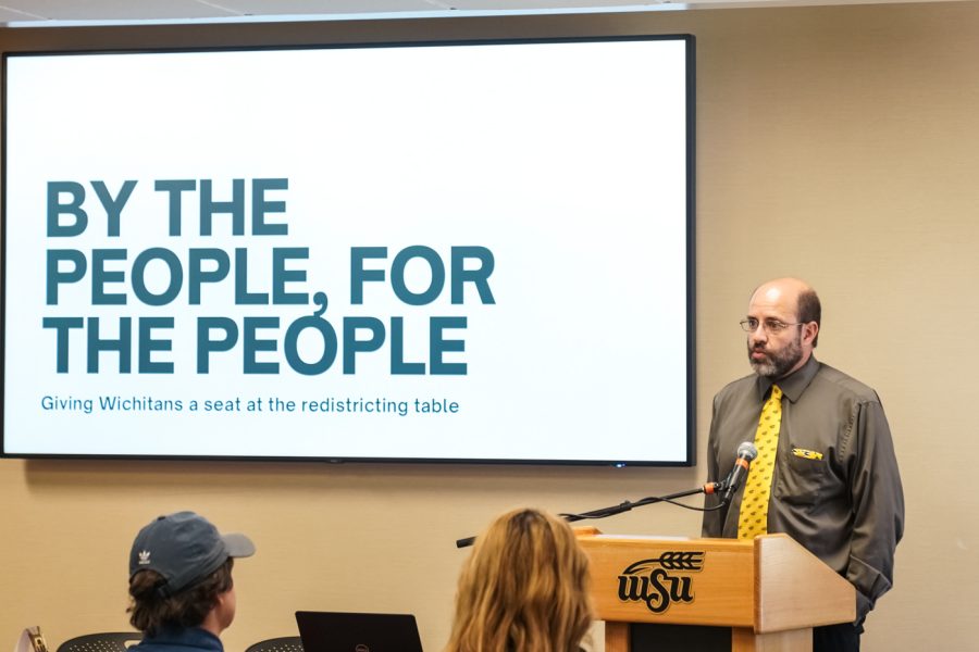
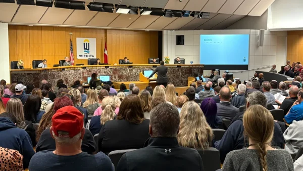
A PowerPoint presentation displays an image of three Kansas legislators on their phones during a town hall behind Rija Nazir, a senior political science major. The picture was taken during a listening tour held to hear public opinion on redistricting. “As we can see, there was very little listening being done during the listening tour,” Nazir said.
The image is part of Nazir’s proposal for redistricting reform, the result of a summer research project on the politics and inner workings of drawing Kansas’ district map.
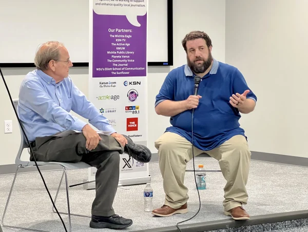
Nazir presented her conclusions on Tuesday alongside Kyle Pfannenstiel, a senior political science major, who conducted a separate research project over redistricting. The event was moderated by Neal Allen, a political science professor.
Nazir focused her presentation on the need for change in the methods Kansas uses to draw district maps. Her criticism of the legislator’s distracted behavior during the town hall is one of many reasons for reform.
“The redistricting process is failing Kansans,” Nazir said. “Under my proposed commission, we would have no former or current political figures, communities of interests would be prioritized, the commission would be nonpartisan, and at least four public town halls would be held on different days.”
Nazir emphasized the elimination of politicians in redistricting commissions throughout her presentation. She cites multiple states, especially Colorado, as proof that nonpartisan citizen-only commissions work better than groups of political figures.
“Our city has the potential to set an amazing precedent for the rest of the state to create committees that actually live among the people that they are representing,” Nazir said. “We know us better than anyone else.”
Pfannenstiel’s research and presentation focused on the creation of the district map itself. Using the program Dave’s Redistricting App (DRA), Pfannenstiel took it upon himself to create his own district map to rival the one created by legislators.
“This software is very similar to what elected officials are using to draw our districts,” Pfannenstiel said. “I spent about 17 hours on this map.”
One of Pfannenstiel’s biggest problems with the current district map is its treatment of minority populations in Wichita.
“They are taking minority populations and splitting them into small numbers,” Pfannenstiel said. “This means that these minority voting powers do not have the potential governance they could have under a different map.”
Pfannenstiel demonstrated the helpful features of DRA that allowed him to create his map. The program includes data and analytic tools that paint a picture of a city’s population and aid in creating district maps.
“I wanted to focus on minority representations,” Pfannenstiel said. “A majority-minority district is what I believe I created in my district map. This is when a minority group becomes majority in a district.”
Nazir and Pfannenstiel present their conclusions in different ways but share similar goals nonetheless.
“Kyle’s map is more the “science” part of political science while my presentation was more policy-related,” Nazir said.
Both students plan on attending law school in the future. Similar to their presentations now, Nazir plans on working in policy while Pfannenstiel looks forward to working with political data.
“I think it would be fun getting lost in all the data and numbers,” Pfannenstiel said.
Salsabila Attaria was the arts and culture editor for The Sunflower during the 2023-2024 year. Attaria is a health science major. She previously worked...


